Local Communities
Serving All Greater Los Angeles
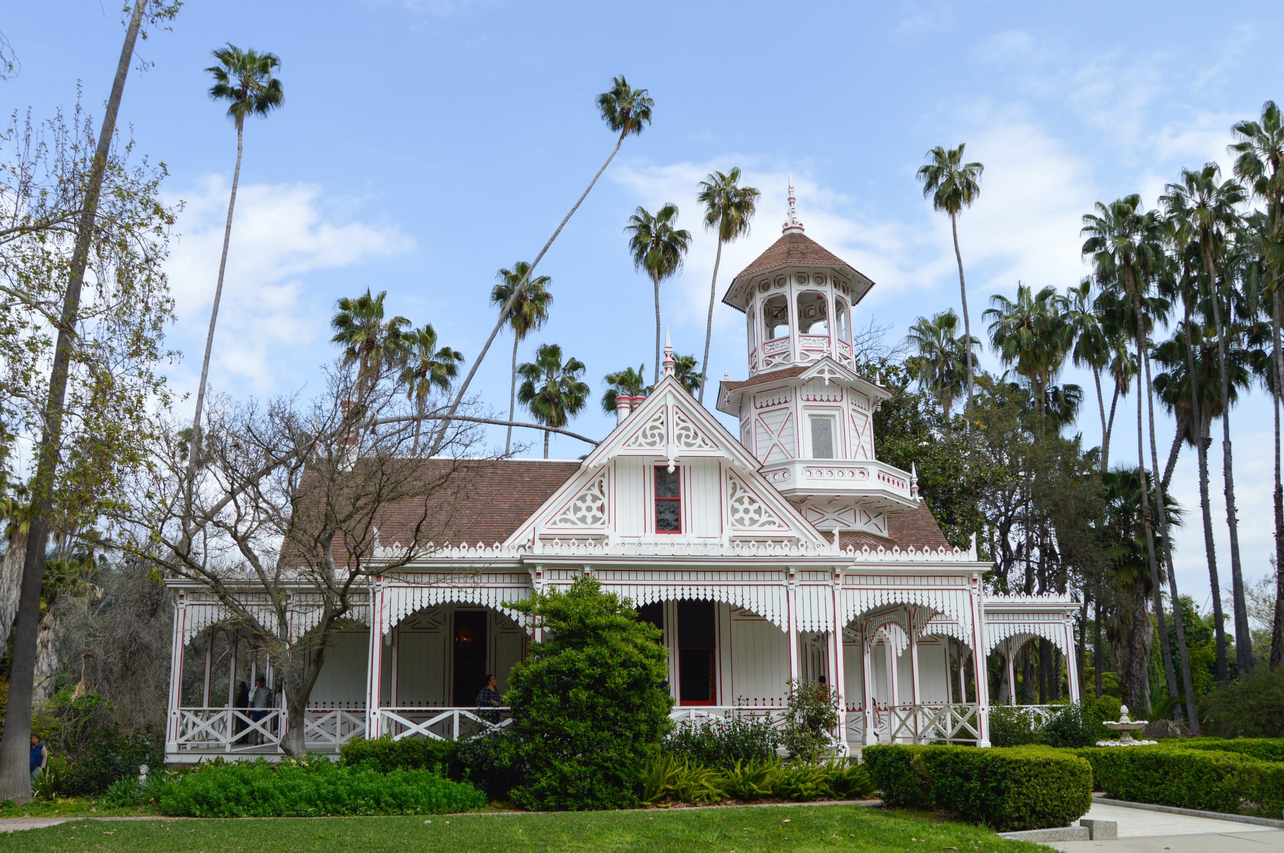
Arcadia, Ca
Arcadia is a city in Los Angeles County, California, United States, located about 13 miles northeast of downtown Los Angeles in the San Gabriel Valley and at the base of the San Gabriel Mountains.
It contains a series of adjacent parks consisting of the Santa Anita Park racetrack, the Los Angeles County Arboretum and Botanic Garden, and Arcadia County Park.
The Westfield Santa Anita mall (formerly the Santa Anita Fashion Park) is a major shopping center in the city. In 2005, the Westfield Santa Anita completed its first phase of expansion, featuring a new food court, Sport Chalet (now closed), Dave & Busters, numerous smaller retailers, various full-service eateries in an area known as Restaurant Square, and a 16-screen AMC Theatres megaplex. In 2008, expansion of the mall continued as the Promenade outdoor structure was completed, with new high-end retailers such as Coach and Talbots.
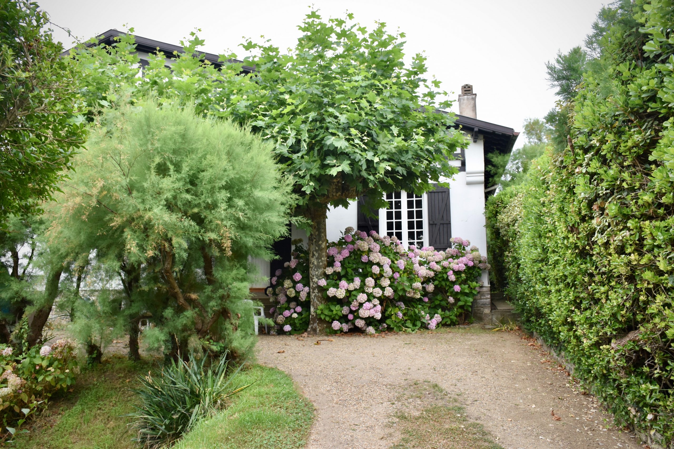
Hancock Park, Ca
Hancock Park was developed in the 1920s by the Hancock family with profits earned from oil drilling in the former Rancho La Brea. The area owes its name to developer-philanthropist George Allan Hancock, who subdivided the property in the 1920s. Hancock, born and raised in a home at what is now the La Brea tar pits, inherited 4,400 acres, which his father, Major Henry Hancock had acquired from the Rancho La Brea property owned by the family of Jose Jorge Rocha.
Hancock Park is a genteel residential enclave dating back to the 1920s. Well-preserved mansions in architectural styles such as Tudor and Italian Revival occupy large lots with broad lawns and porticos. Surrounding the Wilshire Country Club, the area includes Windsor Square and Larchmont Village, which features a quaint shopping and dining strip.
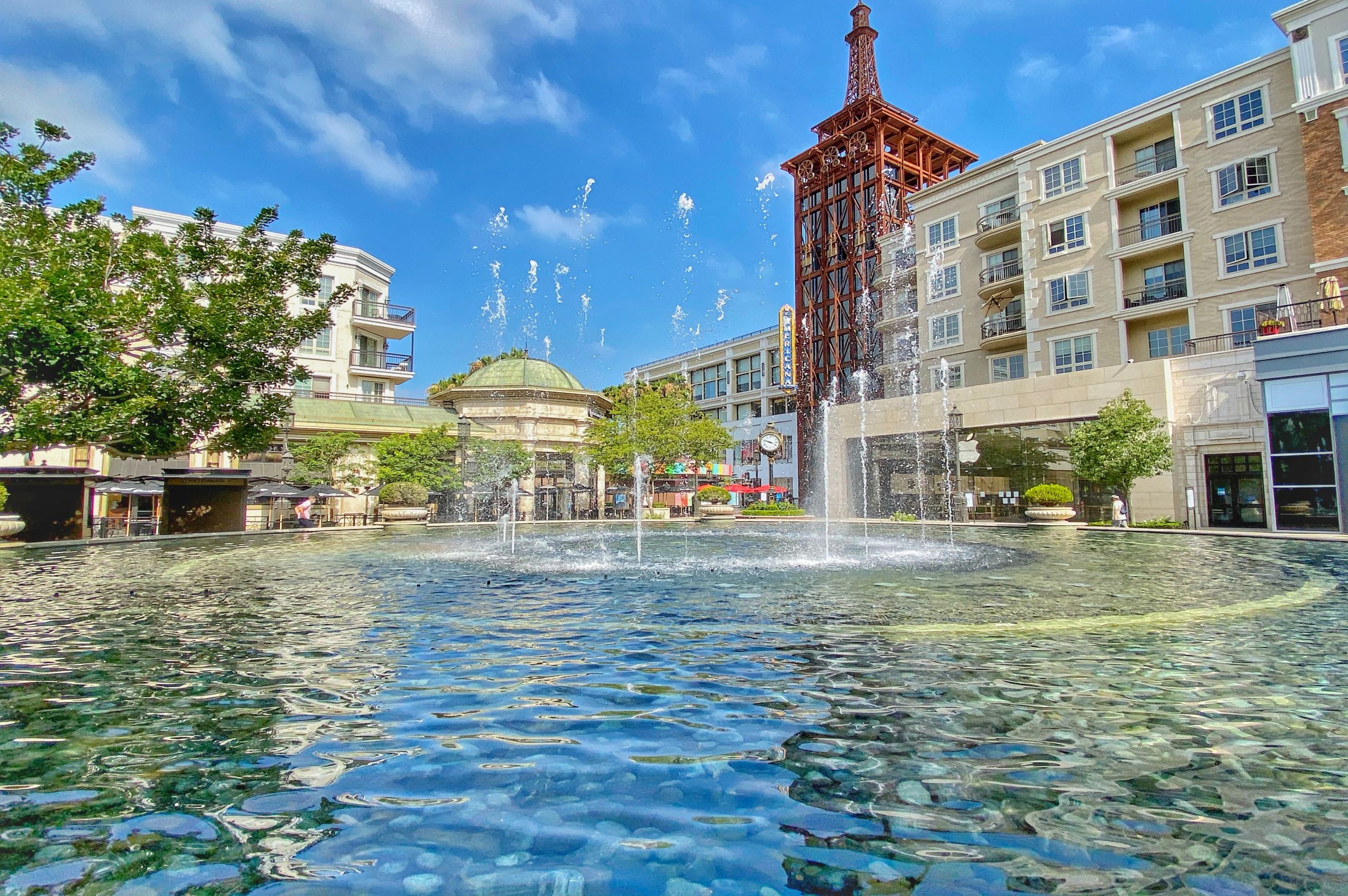
Glendale, Ca
Glendale is a city in Los Angeles County, California. Downtown, the Museum of Neon Art showcases light-based, kinetic and electric art, plus vintage neon signs. Brand Park has trails and the 19th-century Doctor's House Museum and Gazebo. The Verdugo Mountains offer equestrian routes and hilltop lookouts. Northeast, trails run through rugged Deukmejian Wilderness Park in the foothills of the San Gabriel Mountains.
Glendale lies in the Verdugo Mountains, and is a suburb in the Los Angeles metropolitan area. The city is bordered to the northwest by Sun Valley and Tujunga neighborhoods of Los Angeles; to the northeast by La Cañada Flintridge and the unincorporated area of La Crescenta; to the west by Burbank and Griffith Park; to the east by Eagle Rock and Pasadena; to the south by the Atwater Village neighborhood of Los Angeles; and to the southeast by Glassell Park neighborhood of Los Angeles. The Golden State, Ventura, Glendale, and Foothill freeways run through the city.
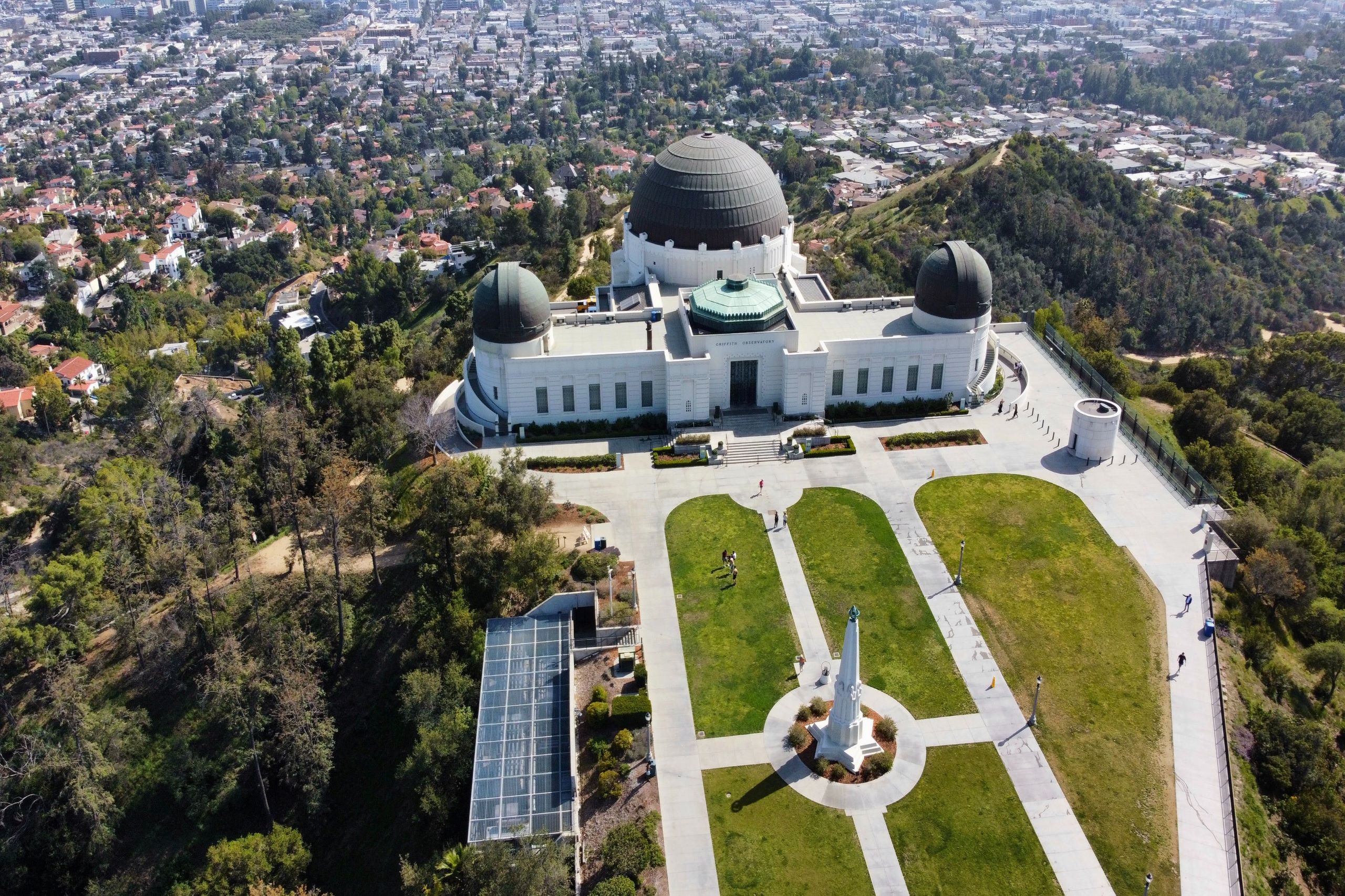
Los Feliz, Ca
Los Feliz; Spanish for "The Feliz (family)", is a hillside neighborhood in the greater Hollywood area of Los Angeles, California, abutting Hollywood and encompassing part of the Santa Monica Mountains. The neighborhood is named after the Feliz family who had owned the area since 1795, when José Vicente Féliz was granted Rancho Los Feliz.
Long before the Spanish settlers arrived to settle near the banks of the Los Angeles River, Native Americans were the only inhabitants. It is estimated that the first Native Americans came to the area approximately 10,000 years ago. The Native Americans established villages, throughout the countryside. One of these settlements was within the boundaries of what was to become Rancho Los Feliz.
La Cañada Flintridge, Ca
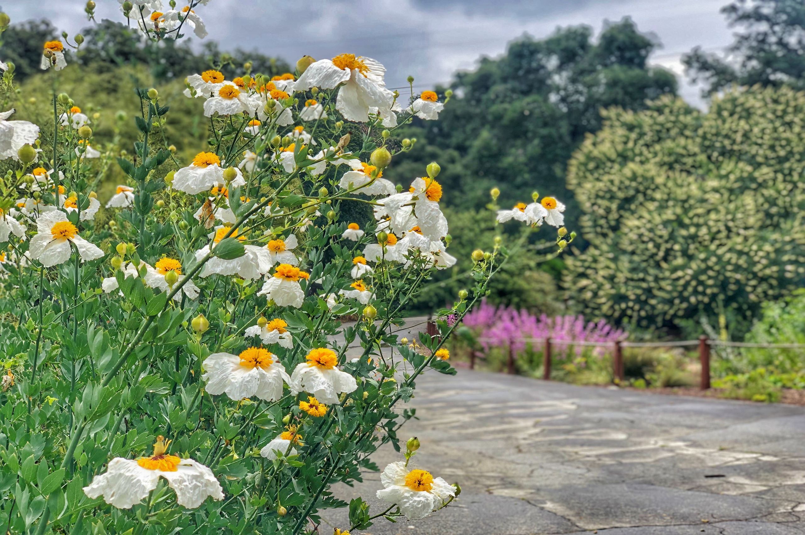
La Cañada Flintridge, commonly known as "La Cañada", is a city in the foothills of the Verdugo Mountains in Los Angeles County, California. Located in the Crescenta Valley, in the western edge of Southern California's San Gabriel Valley, it is the location of NASA's Jet Propulsion Laboratory.
The city is situated in the Crescenta Valley and far western end of the San Gabriel Valley, between the San Gabriel Mountains and Angeles National Forest to the north, and the San Rafael Hills to the south. Most of the city drains southeastward toward the Arroyo Seco area in Pasadena, but the western part of the city (generally west of Alta Canyada Road) drains southward toward Glendale via Verdugo Canyon. Both drainages join the Los Angeles River north of downtown Los Angeles. It is built of the Angeles Crest, the San Rafaels, and the canyon in the middle.
San Marino, Ca
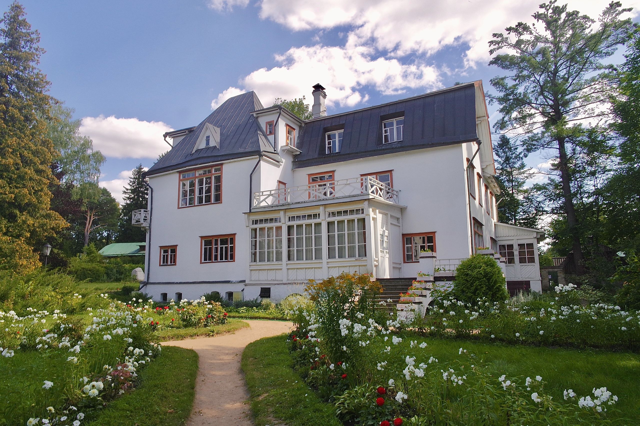
The site of San Marino was originally occupied by a village of Tongva Indians located approximately where the Huntington School is today. The area was part of the lands of the San Gabriel Mission.
Principal portions of San Marino were included in an 1838 Mexican land grant of 128 acres to Victoria Bartolmea Reid, a Gabrieleña Indian. (After her first husband, also a Gabrieleño, died in 1836 of smallpox, she remarried Scotsman Hugo Reid in 1837). She called the property Rancho Huerta de Cuati. After Hugo Reid's death in 1852, Señora Reid sold her rancho in 1854 to Don Benito Wilson, the first Anglo owner of Rancho San Pascual. In 1873, Don Benito conveyed to his son-in-law, James DeBarth Shorb, 500 acres, including Rancho Huerta de Cuati, which Shorb named "San Marino" after his grandfather's plantation in Maryland, which, in turn, was named after the Republic of San Marino located on the Italian Peninsula in Europe.
Work with me and find out why my clients have given such positive reviews. Let me put my experience to work for you and together we will transform the way you feel about real estate transactions.
Coldwell Banker - Field Strategy
© 2025 Coldwell Banker Real Estate LLC
© Coldwell Banker 2023 – 2025. All Rights Reserved. Coldwell Banker and the Coldwell Banker logo are trademarks of Coldwell Banker Real Estate LLC. The Coldwell Banker® System is comprised of company owned offices which are owned by a subsidiary of Anywhere Advisors LLC and franchised offices which are independently owned and operated. The Coldwell Banker System fully supports the principles of the Fair Housing Act and the Equal Opportunity Act.

